Coal and Wine Tax posts - Coulsdon
Ditches Lane, Coulsdon
near Devilsden Wood
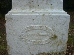
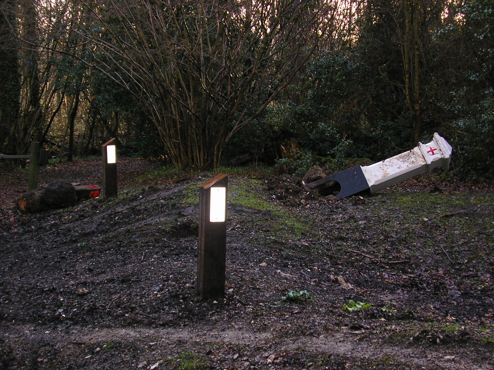
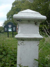
This post is a bit accident prone.
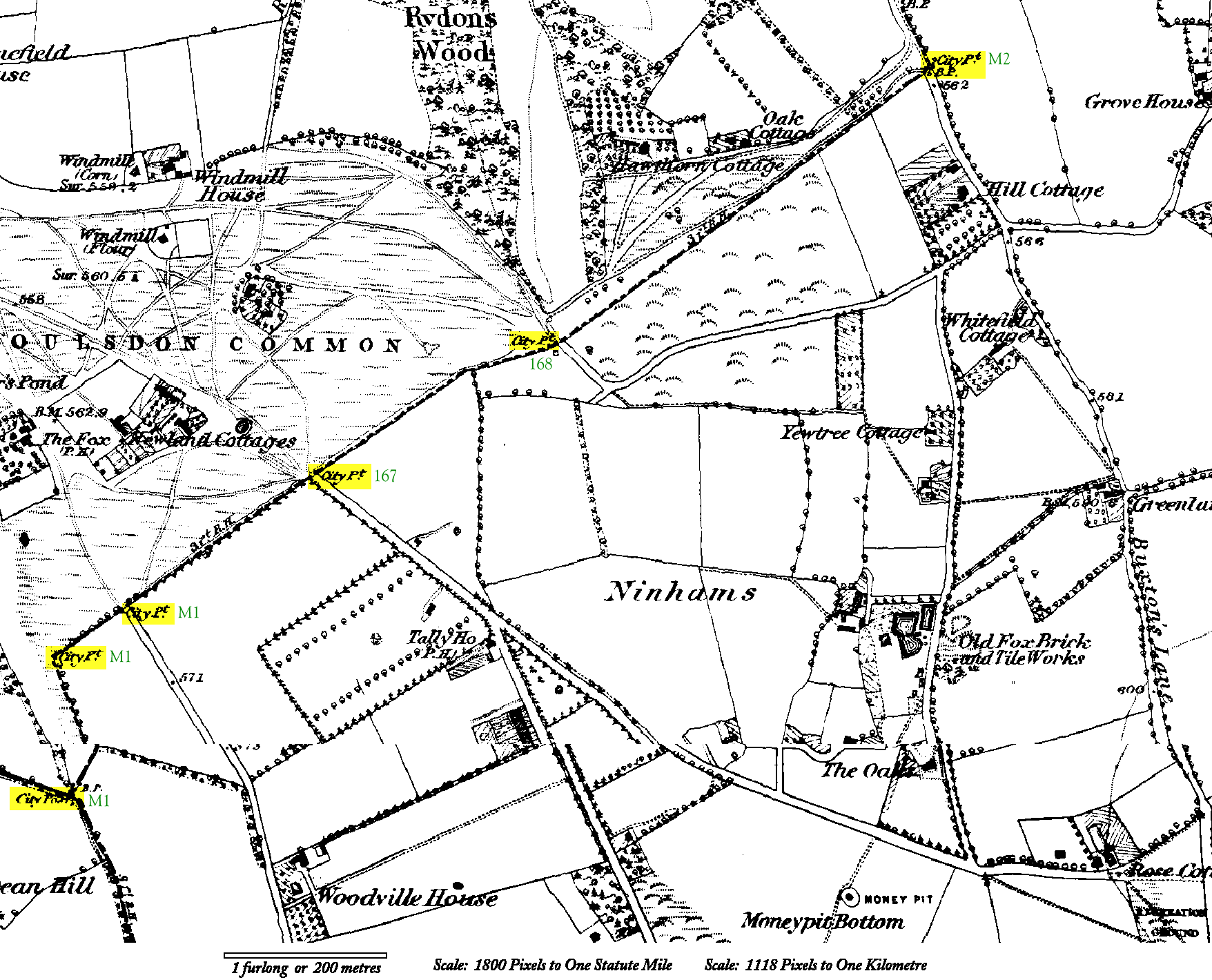
Images produced from the www.old-maps.co.uk service with permission of Landmark Information Group Ltd. and Ordnance Survey where www.old-maps.co.uk is hyperlinked to http://www.old-maps.co.uk, Landmark Information Group Ltd. is hyperlinked to http://www.landmark-information.co.uk and Ordnance Survey is hyperlinked to http://www.ordnancesurvey.co.uk
TQ 318 563
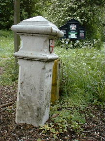
TQ 318 565
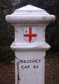
TQ 320 566
One post just off the end of The Grove, Coulsdon Common and two posts in The Grove.
Marked M1 on the map.
Click on the map for a larger version.
Note The Fox and the Tally Ho pubs; both still there.
On the larger version, near bottom right note the intriguing Money Pit still remembered in the name of Money Road.
Coulsdon Road, Coulsdon Common opposite The Grove.
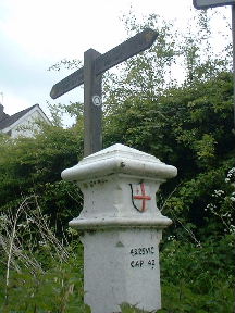
On the present boundary between Croydon and Tandridge

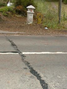
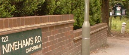
Coulsdon / Caterham, on SW side of road 90 yards NW of the junction of Ninehams Road and Milton Road. (Carefully worded -see below.)
On the present boundary between Croydon and Tandridge. (Note the join in the road surface between the two authorities.)
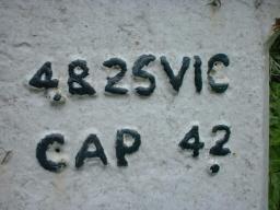
Also the 2 of CAP 42 is so flat that it has been painted wrongly.
|
All the old lists seen describe the house nearest to this post as
22 Stites Hill Road and all road maps seen show Stites Hill
Road extending to the Junction with Milton Road. However the
Postcode directory is perfectly clear that the six houses along this
90 yard stretch of road are 112 to 122, Ninehams Road, CATERHAM,
CR3 5LJ. Neither of the local authorities has erected road name signs to indicate that maps are wrong. It has been left to the owner of the house nearest the post to clarify the situation. The post was erected to mark a boundary and it still does mark a boundary. This site notes several places where a road changes its name on the boundary and it is the case here as well. |
|
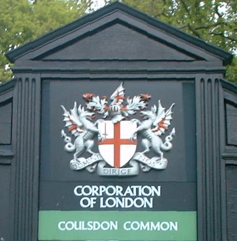
CORPORATION OF LONDON COULSDON COMMONS The Corporation of London is the local authority for the City of London.
It provides services not only in the City but also far outside its boundary. |
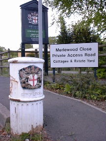
Corner of Ninehams Road and Merlewood Close, Caterham
Outside the Corporation of London's Estate Office for the commons mentioned above.
This is not a Tax Post and is quite recent. But it carries on the cast iron Corporation of London tradition. It is just a post to keep your vehicle off the kerb or grass - and of an height designed to ensure that you will not see it just before you reverse into it.
East side of Buxton Lane, Caterham at the point where it becomes Hayes Lane, Kenley.
Marked M2 on the map above and on the larger version.
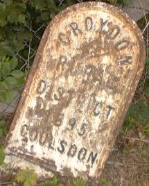
This post is leaning and bears the inscription 'Croydon Rural District 1895 Coulsdon'.
An identical post to this one stands beside City Post 162 in Chipstead and as we can see on the map there ought to be a City Post standing here but it has long since vanished.
The name Buxton Lane had struck me as odd because it is clearly an old road from long before the habit of naming roads after holiday destinations. The larger map gives us an answer by calling it Buxton's Lane - it is named after a person. But a developer has picked up on the geographic idea and built Matlock Road off it.
© 2003–2016 Roger W. Haworth


Main php file date: 2020 Jun 25 11:15:06 app file date: 2023 Sep 16 19:13:41