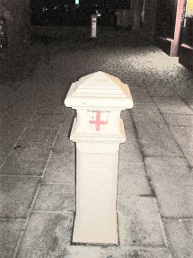
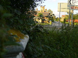
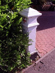
 Post 1, Dagenham Road
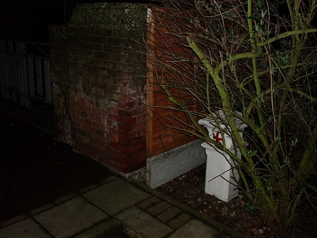
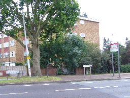
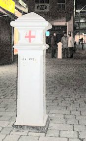
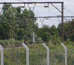
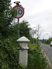
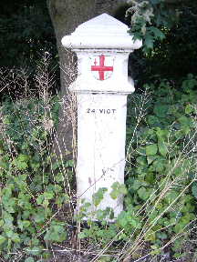
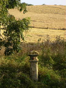
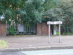 Post 2, Wood Lane / Rush Green Road
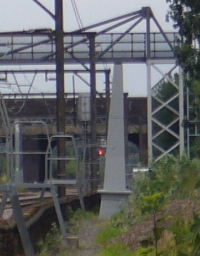

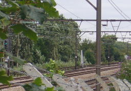
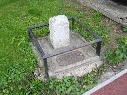
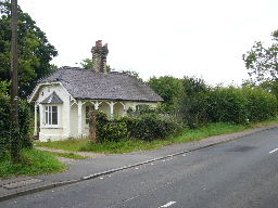
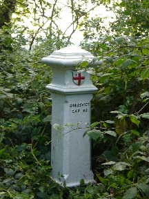
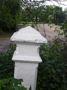
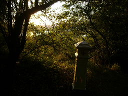
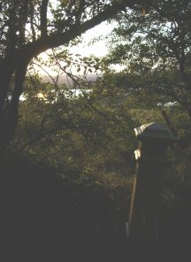
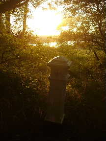
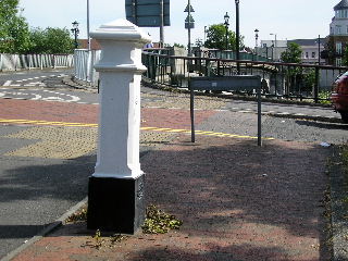
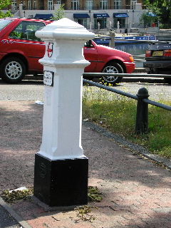
 Post 3, West Ham United F.C. training ground.
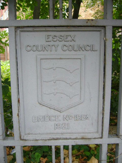
Listed building - see this document page 29.
Post 3, West Ham United F.C. training ground.
Listed building - see this document page 29.

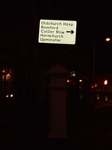
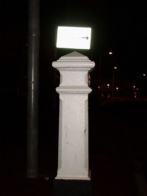
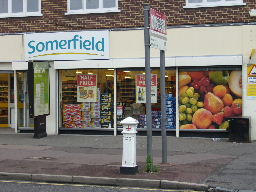
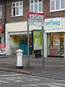
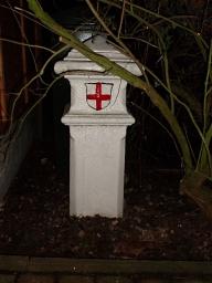
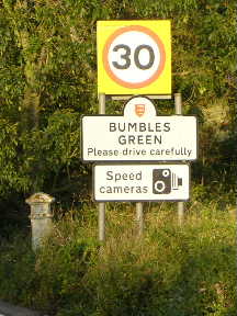
 Post 4, Chadwell Heath. I missed an
interesting pump nearby.
See also the Hainault Forest page.
Post 4, Chadwell Heath. I missed an
interesting pump nearby.
See also the Hainault Forest page.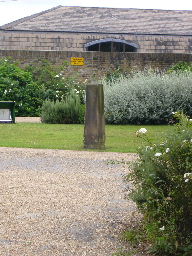
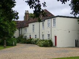
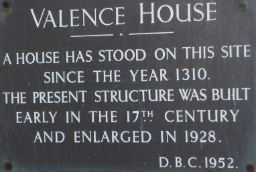
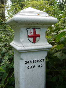
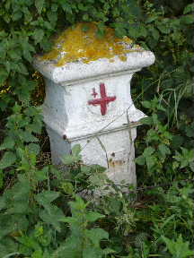
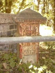
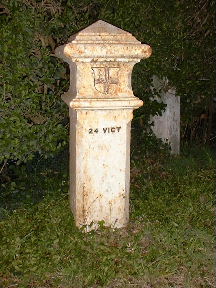
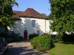 Valence House. Neither of these stones is Post 5 - it was a Type 2.
For next visit, remember that Valence House shuts at 16:30.
Valence House. Neither of these stones is Post 5 - it was a Type 2.
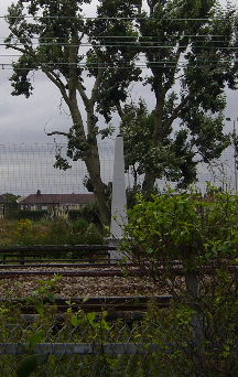
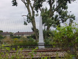
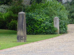
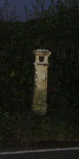
For next visit, remember that Valence House shuts at 16:30.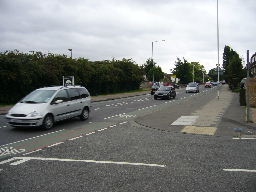 Post 5, approx. original position. In the foreground is the end of Pemberton Gardens and we are looking southeast.
 Post
5 in its original position, photographed in 1910 beside the Forest Bounds stones.
Post
5 in its original position, photographed in 1910 beside the Forest Bounds stones.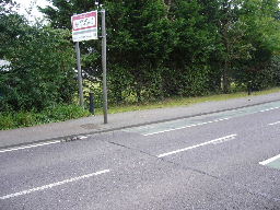 Post 6 should be in the hedge just to the left of the sign but I could see no trace of it. Note the seam across the road.
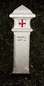

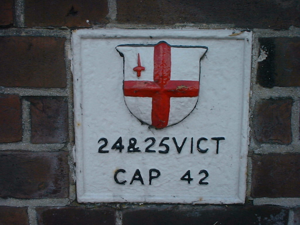
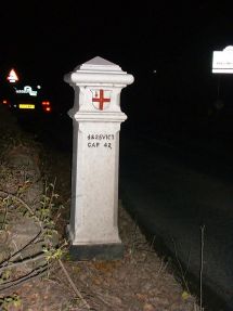
 The Maypole, 171 Lambourne Road, Chigwell, IG7 6EF at
TQ 464 933
The Maypole, 171 Lambourne Road, Chigwell, IG7 6EF at
TQ 464 933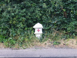
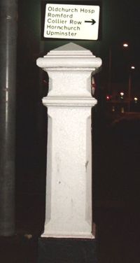
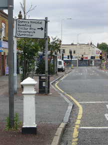
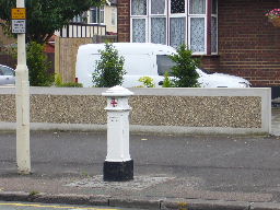
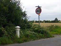
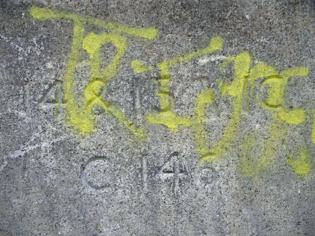
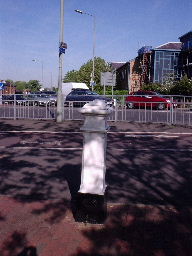
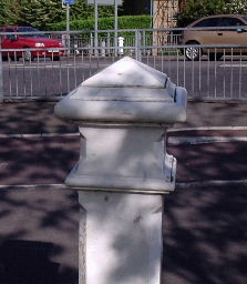
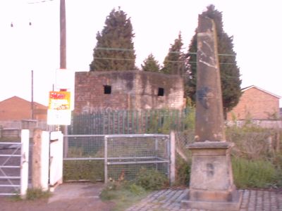
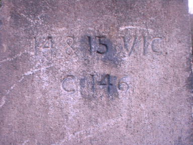
 Post 8, Manor Road. This and Post 9 are both on the IG / RM postcode boundary
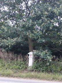
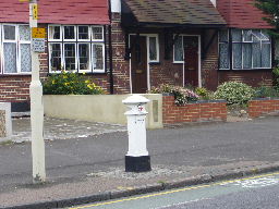
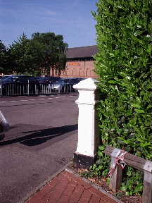
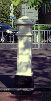
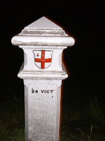
 Post 9, Abridge Road
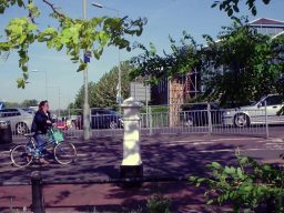
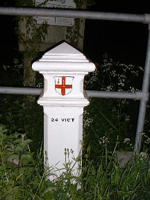
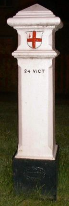
 Post 14, Galleyhill Green
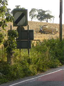
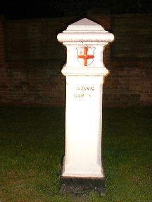
 Post 15, Waltham Road
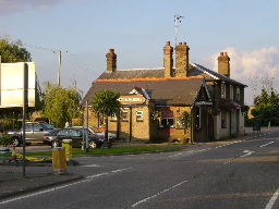
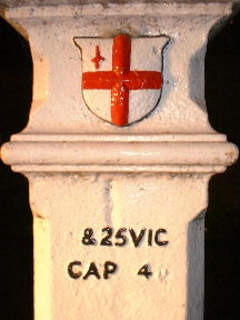
 Post 16, Waltham Road / St Leonards Road, near the Coach and Horses pub
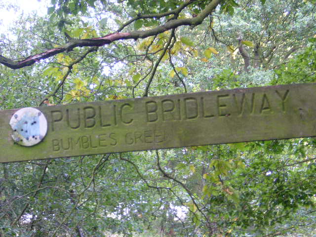
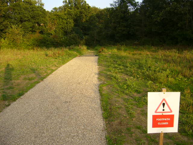 A far-flung corner of the Lee Valley Park with a path that just stops close to …
 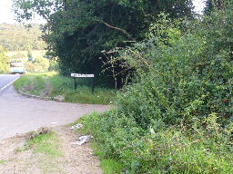 where Post 17 orter be at the start of Colemans Lane
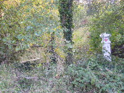
 Post 18, Colemans Lane
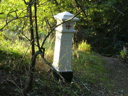
 Post 19, Colemans Lane
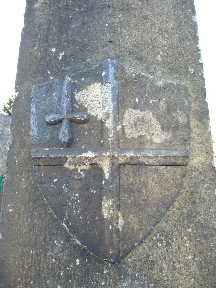

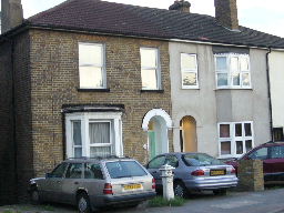
 Post 21, beside the railway in Wormley
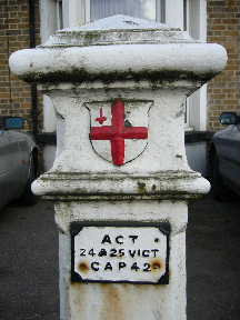
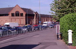
 Post 22, outside 137 High Road, Turnford
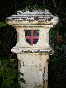
 Post 24, deep inside Wormley Wood (image from Geograph)
 Post 30, Heath Road, Potters Bar (image from Geograph)
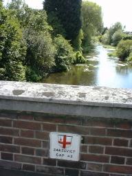
 Post 65
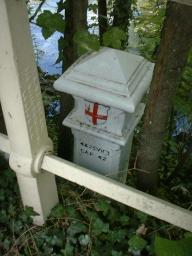 Post 66
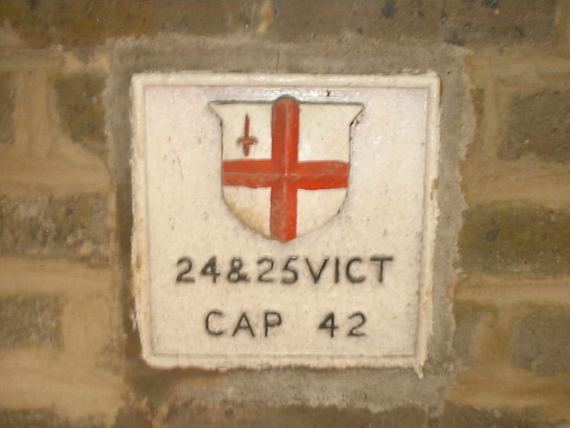
 Post 67 and Plate 68
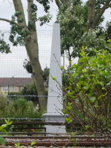
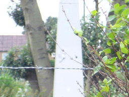
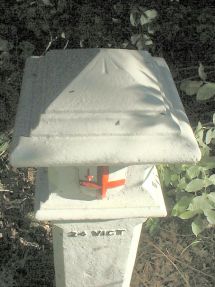
 Obelisk 69
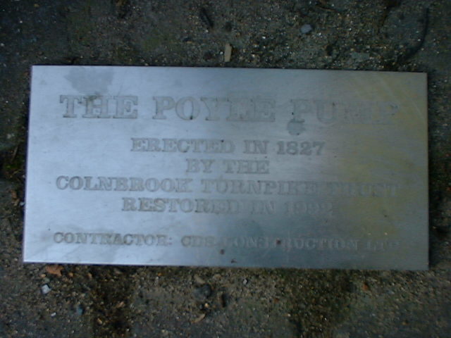
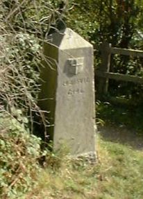
 Poyle Pump
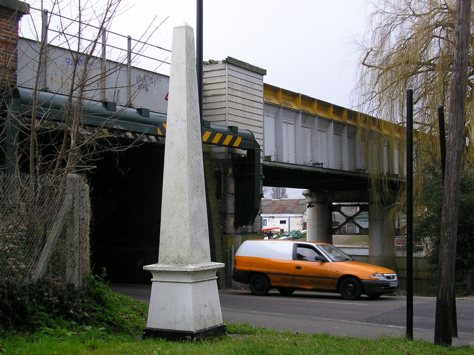
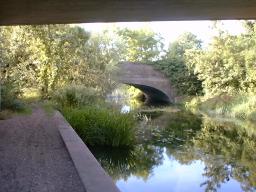 Mad Bridge
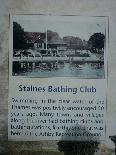
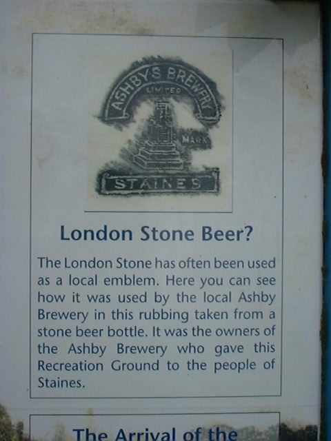
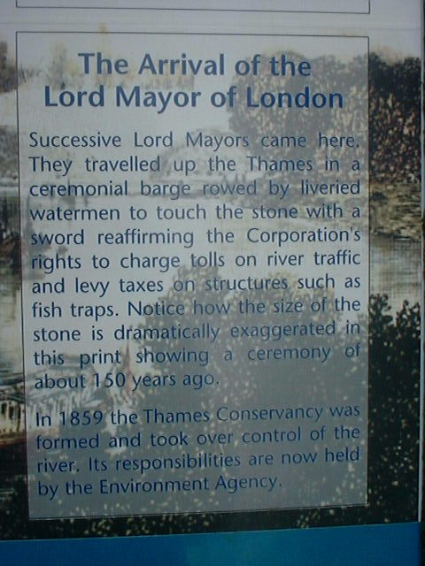
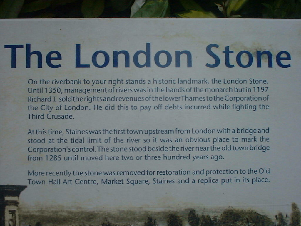
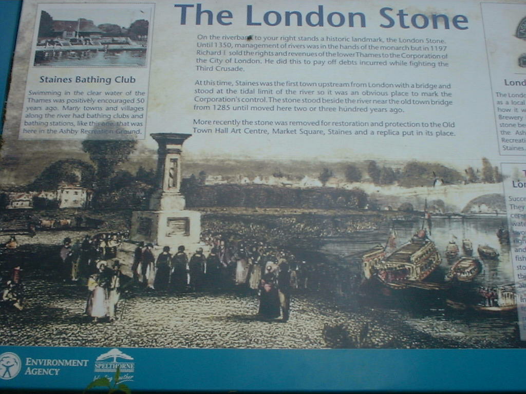
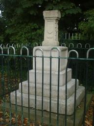

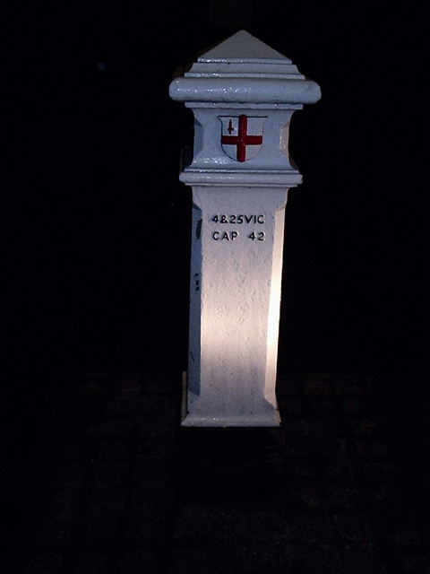
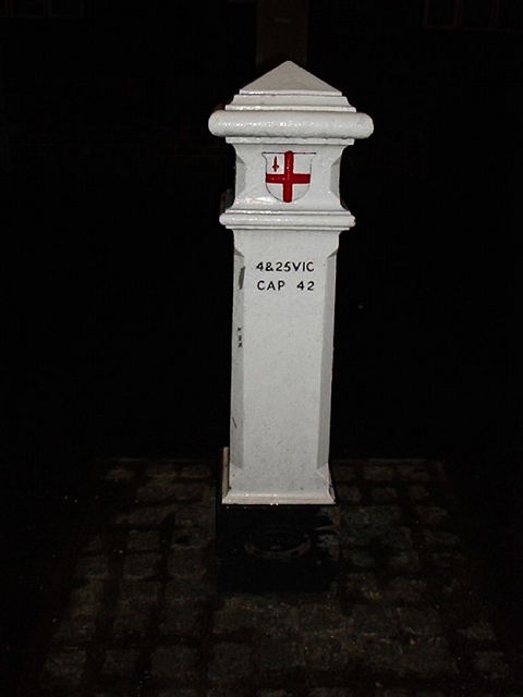
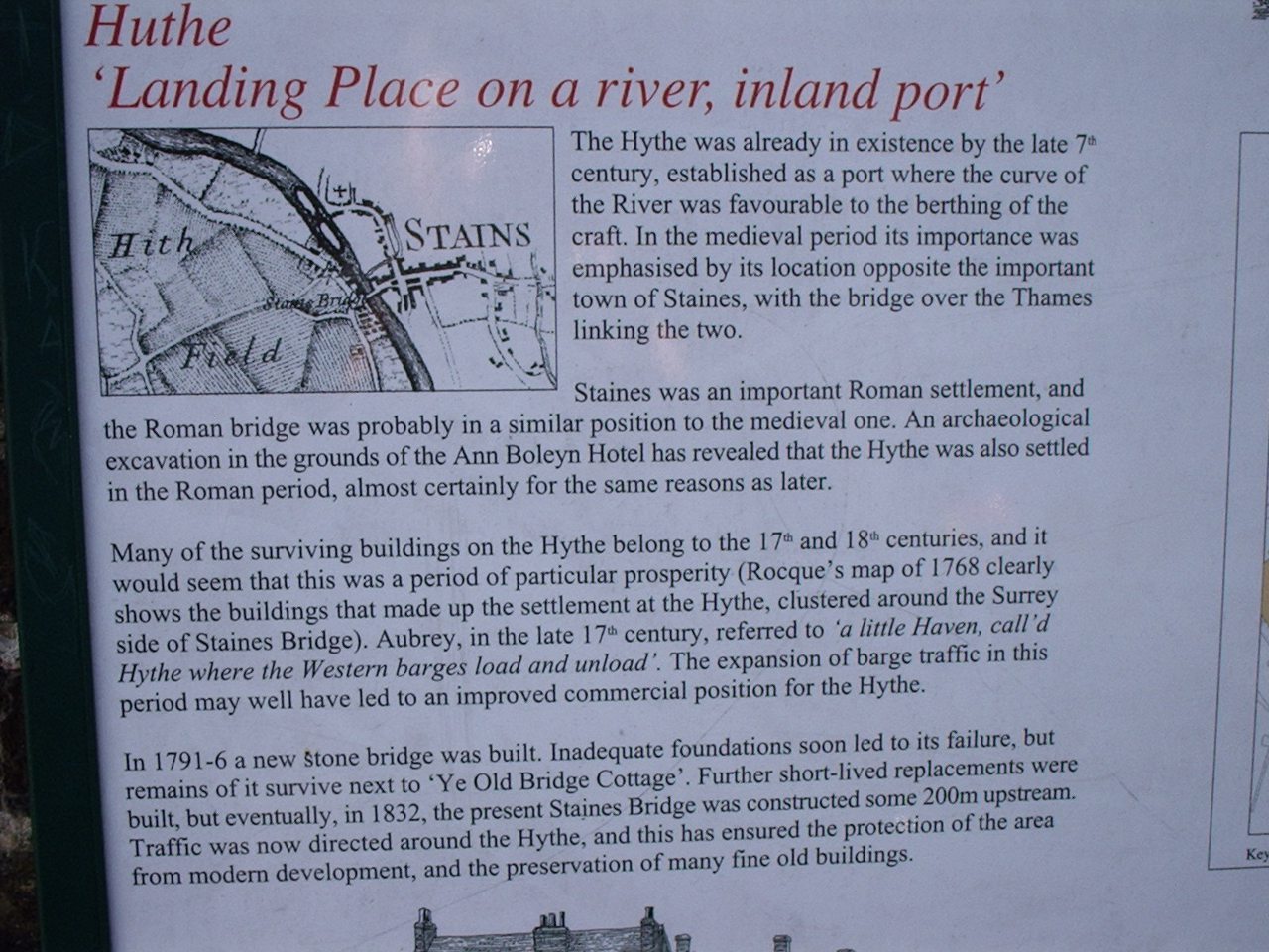
 Stone 83, The London Stone (Staines)
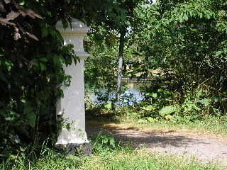
 Post 85
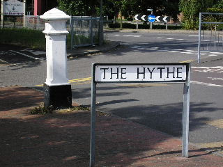
 Post 86
 near Post 86
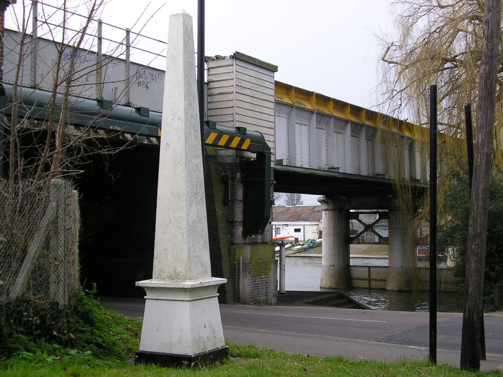

 | Post 12, TQ 432 994 South side of Coppice Row, Epping N of Jacks Hill, 500 yards E of the "Wake Arms" | 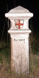 | Post 13, TL 437 004 Epping Road, Epping about 500 metres SW of the Bell Common Tunnel |
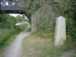
| Obelisk 20, TL 373 050 Wormley. Beside the Lea Navigation near King's Weir Bridge. Bench Mark. In the first picture the Navigation is between the stone and the pole visible in the background. |  | 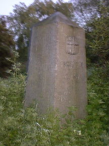 | 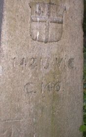 |
|  | ||||
 | |||||
 |  | Post 37, TL 182 037 High Street, London Colney Just north west of the bridge over the River Colne | |||
 | Post 38, TL 176 032 Shenley Lane, London Colney South side of Broad Colney Bridge | ||||
 |  | Post 39, TL 172 023 Harper Lane, Shenley Outside No. 108 The Lodge and near Harperbury Hospital | |||
 | Post 40, TL 174 025 Harper Lane, Shenley Outside No. 67 | 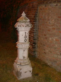 | Harper Lane, Shenley Midway between these two Tax Posts. Just a post to announce that this is No. 100 but nice echoes of Tax Posts. Cab drivers on night shift wish that all houses showed their numbers as clearly as this. | ||
 | Post 43, TL 160 007 Watling Street, Radlett East side of road, opposite Kitswell Way, south of the culvert for a stream and half a mile north of the station | 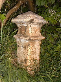 | Post 44, TL 163 001 Watling Street, Radlett West side of road, 100 yards north of Park Road, beside Radlett United Synagogue | ||
| |||||||||
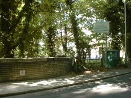
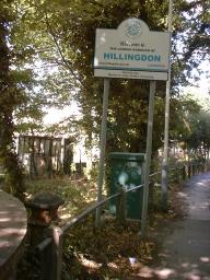
 | Post 58, TQ 0583 9225 Rickmansworth Road, Harefield at the point where it becomes Harefield Road, Rickmansworth. Just on to the Hertfordshire side of the county boundary - a 'Welcome to Hillingdon' sign can be seen on the right of this photo. Left hand photos: 2003 Apr 14. Right hand photo: 2012 Jun 07. 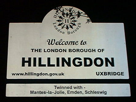 More pictures of this post in daylight and showing before- and after-restoration states. |  | |